Clear Creek Siphon

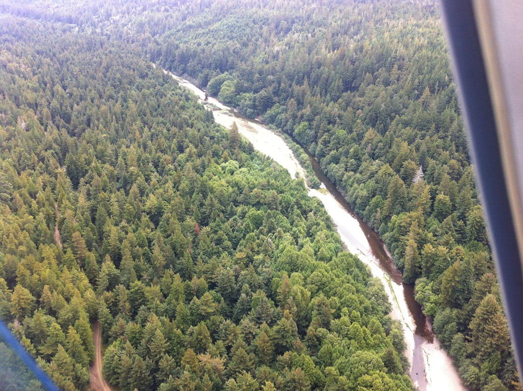
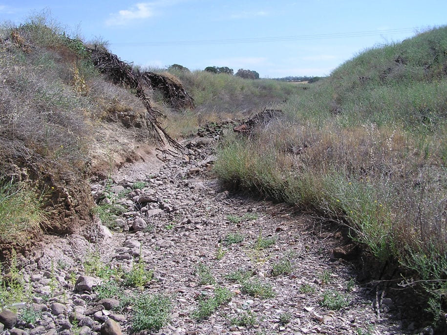
The project consisted of placing rock protection along the north side of the instream portion of the siphon pipe.  In winter 2015/2016, an eddy or winter flow intensity resulted in the excavation of a large depression alongside of the upstream portion of the siphon.  The depression is approximately 7 feet deep and 60 feet long and approximately 10 feet wide at its broadest location. 

This project addressed filling the depression with 3-foot-minus, clean, washed quarry rock to reinforce the siphon bed material.  In addition, ACID placed additional large washed quarry rock along the remaining exposed portions of the siphon on the upstream side. Currently, salmonids navigate freely over the pipe even at low flow.

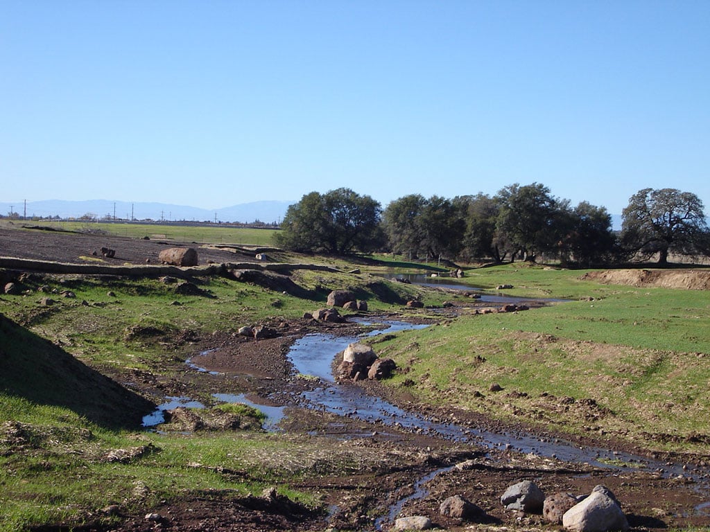
The north slope of the siphon was used as the access for repair efforts.  The plan included development of  a “rock bridge” out to the depression, so that the excavator was not in the streamflow.  The rock bridge was constructed with washed spawning recruitment, which was then left in place for natural distribution in the creek bed.  No suitable spawning substrate was available in the immediate vicinity of the siphon.  Riparian cover is present overhanging portions of the creek bank on the north side of the creek that could provide juvenile salmonid holding. 

Specific actions that were completed include:

  • Obtain permits

  • Open the current access

  • Regrade and rock lower portion of access road

  • Construct and rock the staging area

  • Construct rock bridge to allow excavator access to depression

  • Fill depression with large washed quarry rock

  • Armor remaining north slope of siphon with same-size washed quarry rock; place rock against pipe, below level of current bedload

  • Remove equipment and leave spawning gravel deposit

  • Stabilize/complete erosion control activities

  • Monitor first storms to ensure adequacy of measures


"The Board of Directors and management of Anderson-Cottonwood Irrigation District would like to express our appreciation for the diligent work provided in support of the Clear Creek siphon rehabilitation project over the past several years. This very difficult project has been completed successfully and your efforts, and those of your staff, were an integral part of this success.

The Board has also kept apprised of other projects for which we have sought your support, including restoration monitoring at Cottonwood Creek and Crowley Gulch, obtaining a general permit under NPDES, development of a Routine Maintenance Agreement with CDFW, and environmental and permitting support for other projects over the years.

We thank you for your work on all these project and are especially happy to have completed the Clear Creek project with no impacts to the aquatic and riparian habitats within the work site. We look forward to a continuing and successful relationship in the furture."

- Brenda Haynes, President and Stan Wangberg, General Manager


"This letter is to thank you for the support you provided to our recent Clear Creek siphon armor project. I'm still in awe that after first meeting with the Corps at the project site in mid-May, we obtained all the necessary permits and completed the project by October 3.

This would not have been possible without your help, and I'm very pleased that we were able to get this project off the books and on the ground!

Wendy, you're one of my all-time favorite people to work with and I'm going to miss that very much. You have my sincere best wishes for you and VESTRA in the future, and want you to know that your support of all our projects has been exemplary with top-notch results."

- Stan Wangberg, General Manager

Greenwood Dairy

Permitting/Waste Water Pond Design

VESTRA provides permitting, regulatory compliance, engineering and sampling services to many dairies in Northern California. Since 2004 we have assisted the the Greenwood Dairy located in Orland, California. Services have included the permitting of an expansion of the dairy herd from 1800 to 3500 milking head.    VESTRA coordinated the lengthy permitting process, which has included addressing the extensive requirements of the Glenn County CAFO element as well as the Report of Waste Discharge required by the RWQCB.  The expansion included the design and construction of additional freestall barns and doubling the waste water pond capacity. The new ponds were designed to meet RWQCB Title 27 requirements.  We have continued to provide required groundwater monitoring and reporting assistance. 

Bully Hill and Rising Star Mines

Mine Remediation and Passive Treatment - East Shasta Mining District, Shasta County, California

Shasta County was a leading producer of copper in the United States between 1900 and 1920.  Following the closure of the local copper mines in the early 1920s, acid rock drainage (ARD) from the closed mines was identified as a major source of metals contamination in the Sacramento River.  ARD is generated when air and water interact with the metal sulfide deposits to produce sulfuric acid.  The acid dissolves the metals and the contaminated water discharges to the surface through the mine workings. 

VESTRA staff have been involved in ARD remediation for over 20 years, including several projects in Northern California.  One of these projects, the Bully Hill and Rising Star mines, included many of the remedial activities implemented to address ARD contamination.  The Bully Hill Mine consists of two main portals and a large waste rock pile, and the Rising Star Mine consists of eight portals and one large and numerous small waste rock piles.  Both mines are located on Shasta Lake in an area with no power, water, or phone service.  Site access is by boat or 4-wheel drive vehicle via logging roads.

Activities completed at the Bully Hill and Rising Star mines included source identification, source control and reduction, and treatment of residual ARD.   

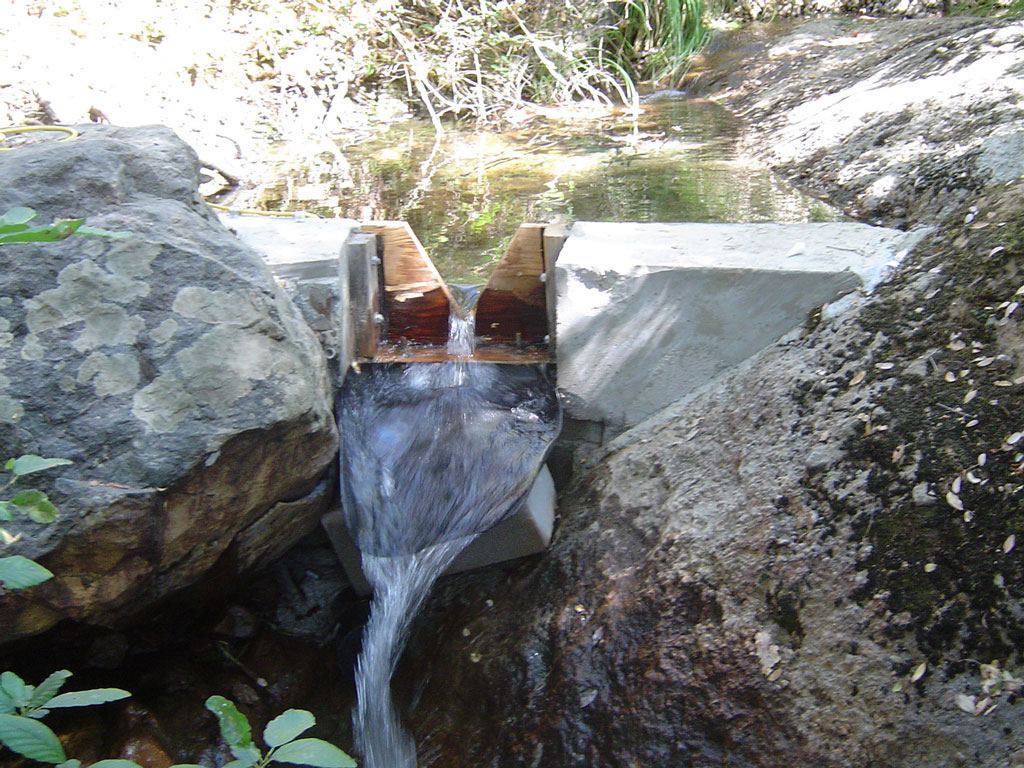
  • Site Characterization.  Representative water samples and continuous recorder data were collected to characterize metal concentrations and flow rates for approximately 5 years.  These data were used to prioritize the ARD sources for remediation.
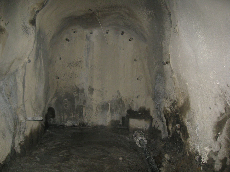
  • Portal and Tunnel Rehabilitation.  Once the sources were prioritized, it was necessary to access the source areas.  In most cases, access involved rehabilitating the mine tunnels and installing several bulkhead seals to control the ARD.  Overall, approximately 350 feet of mine tunnel was rehabilitated, five bulkhead seals were installed to capture the ARD, and high-pressure piping and values were installed through the bulkheads to control the ARD.
  • Waste Rock Consolidation and Capping.  In addition to discharge from the collapsed portals, it was determined that exposed waste rock was also a source of ARD.  Waste rock in the vicinity of the Rising Star Mine was consolidated and capped with a synthetic liner and vegetative cover.  
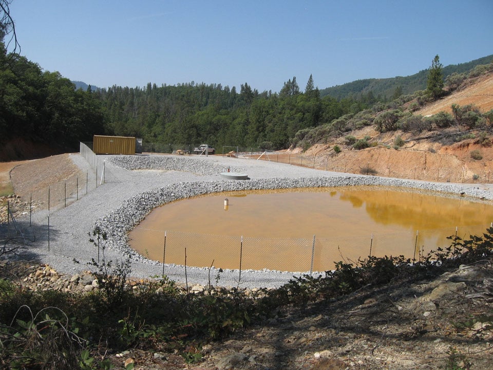
  • Passive Treatment Systems.  Although ARD may cease following the installation of a bulkhead seal, the more likely outcome is a significant reduction in flow.  When this occurs, it is necessary to design and construct a treatment system to remove the metals contamination from the residual seepage prior to discharge.  Pilot and full-scale sulfate reducing bacteria (SRB) anaerobic treatment systems were constructed at the Bully Hill and Rising Star mines.  Each system is gravity-based and was designed to treat up to 25 gallons per minute.  Based on the pilot systems, the final substrate mixture includes wood chips, hay, limestone, agricultural limestone, manure, and rice hulls.  The Bully Hill system has been operating for 4 years and reduction in concentrations exceeds 99 percent for copper, zinc, and iron and 80 percent for aluminum.  The average effluent pH is 7.00 units.  The treatment system at the Rising Star Mine has been operating for 2 years with similar success rates.

Gualala Redwoods, Inc

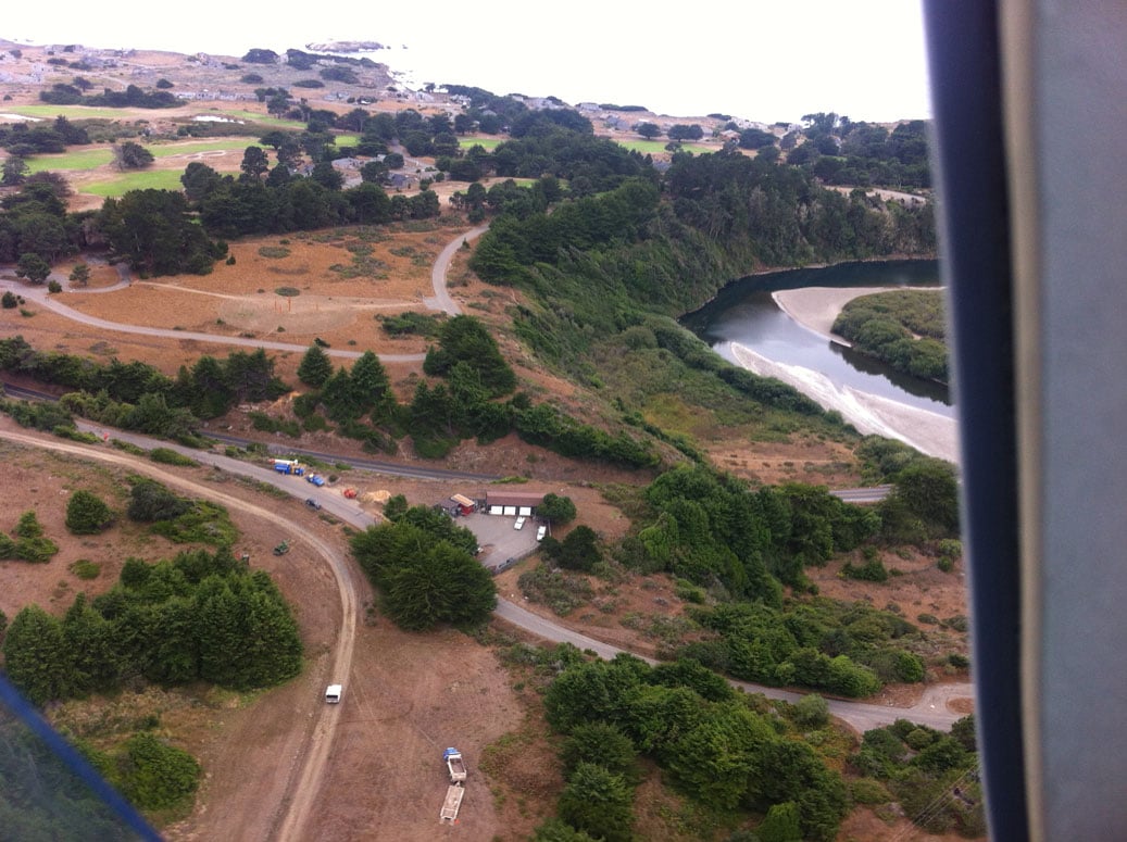
Gualala Redwoods, Inc., retained VESTRA to conduct a Phase I Environmental Site Assessment for 28,085 acres of timberland in Mendocino and Sonoma Counties, California.  The site has been managed for the production of timber since the mid-1800s.  The tract is currently managed for timber production using even-aged silvicultural methods.  The property contained three former sawmills, a county dump-site, three homesteads, two cemeteries, and an office building.  The Phase I was conducted under ASTM E2247-08 Standard Practice for Environmental Site Assessments: Phase I Process for Forestland or Rural Property.

Historical photographs were obtained from the local historical society as well as historical aerial photographs to determine the locations of the former sawmills.  Telephone interviews were also conducted with two long-time residents of the Gualala area, including a former mill office employee.  It was important to identify the locations of the former sawmills as potential contamination at these facilities is associated with:

  • Dipping of lumbering anti-sap staining fungicides including pentachlorophenol (PCP) (most common at inland mills processing pine lumber)
  • Hydrocarbons and solvents at mechanics shops
  • Hydrocarbons associated with leakage of compressors and equipment
  • Mill dump-sites or burn dump-sites
  • Miscellaneous other areas generally associated with rail, such as grade and bunker C tanks

It was determined during the site investigation that any possible contamination at the mill sites would need to be further investigated if the property were to be developed for any use other than industrial.  The area of the former mill burner was regraded and covered with road base following demolition, so it would be difficult to identify areas that may have been impacted.

Dicalite Minerals Corporation

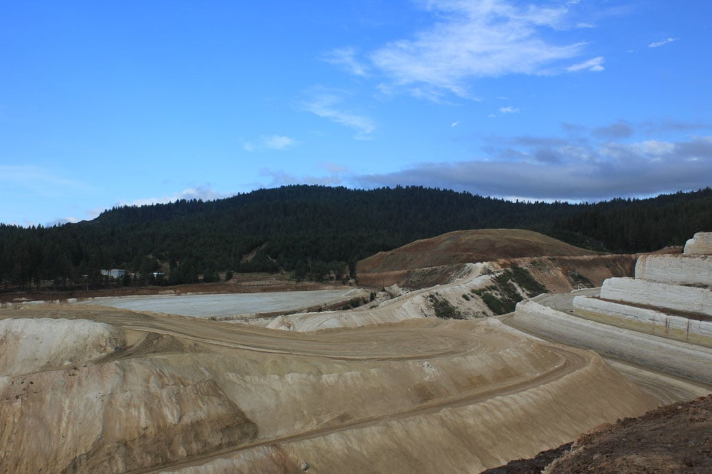
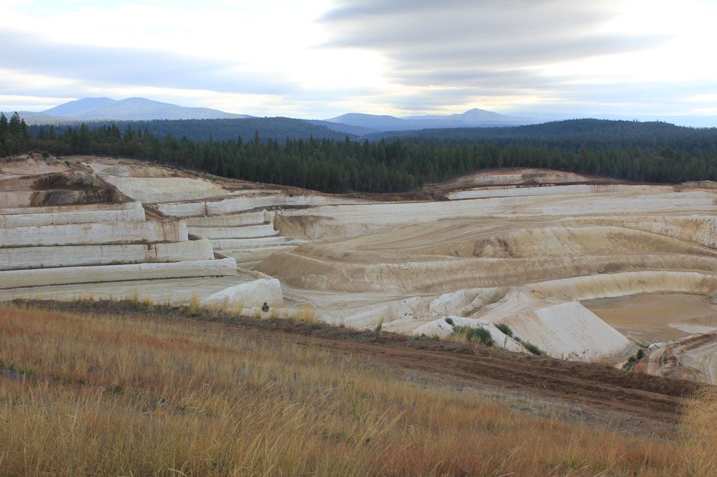
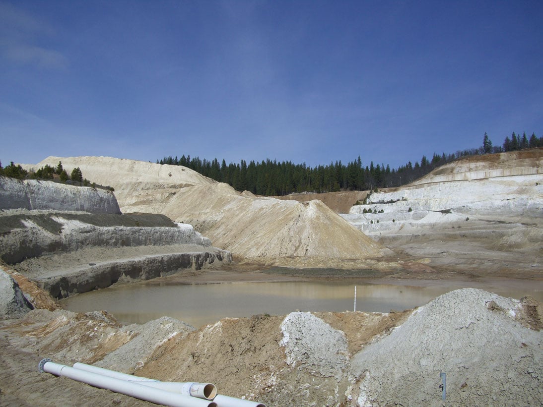
Dicalite Minerals Corporation operates a large, open-pit diatomite mine near Burney in Shasta County, California.  Treated storm water is discharged from the facility to an intermittent tributary to Lake Britton. The RWQCB had issued orders to address elevated zinc concentrations as well as settle-able solids, suspended solids, pH, and acute toxicity detected in effluent samples above the limits set in the site-specific Waste Discharge Requirements (WDRs).  VESTRA assisted in identifying sources of elevated zinc associated with plant and quarry operations.  Because discharge and background receiving water concentrations are periodically detected above California Toxics Rule (CTR) levels, a site-specific translator was developed to set new dissolved metals criteria.  Through recent negotiations with the RWQCB, VESTRA assisted Dicalite in obtaining coverage under the General Industrial Storm Water Permit for storm water discharges and rescinding the existing WDRs, greatly reducing sampling and monitoring requirements and associated costs.

Additionally, VESTRA completed permitting of an 80-acre expansion of the Dicalite mine.  The company purchased 160 acres of adjoining land which they planned to use for overburden disposal and stockpiling in addition to mineral development.  Shasta County requested that Dicalite submit an updated Reclamation Plan, Use Permit application, and Initial Study.  The project also required preparation of a Mitigated Negative Declaration under CEQA.  VESTRA prepared the updated Reclamation Plan and Initial Study.  In addition, a Use Permit application was completed.  VESTRA biologists performed vegetation mapping and botanical reconnaissance-level surveys, as well as focused surveys for special-status species.  A Biological Characterization Report, including detailed mitigation measures to ensure sensitive species were not affected by the mine expansion activities, was submitted as part of the Initial Study.

Davis Waste Removal Company

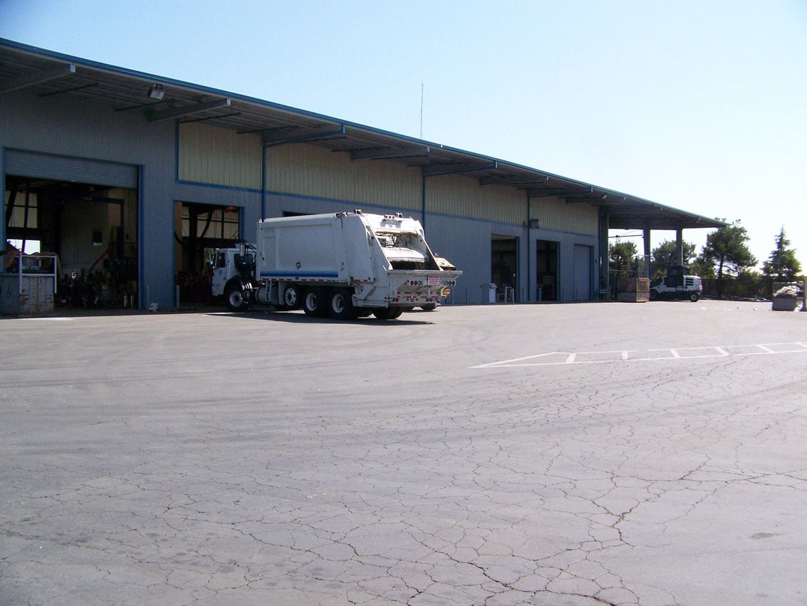
Davis Waste Removal Company (DWRC) operates the curbside recycling program for the City of Davis.  The facility includes a transfer building, shop building, truck wash, truck parking, refueling area, administration building, and storage of recycling, scrap metal and roll-off bins.  The facility has one discharge location.  In 2010, DWRC was served a 60-day Notice of Intent to Sue by the California Sport Fishing Alliance (CSPA) under Section 505 of the Clean Water Act citing the failure of DWRC to achieve benchmark values for aluminum, copper, iron, zinc, and chemical oxygen demand.

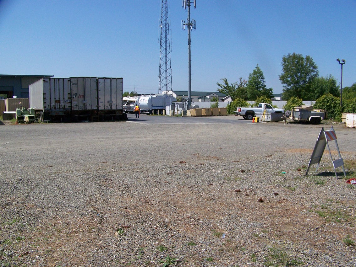
VESTRA served as the first line of defense against CSPA technical staff and worked with DWRC to identify sources of pollution onsite. This included the development of a sampling plan to determine onsite sources of metals, including anthropogenic deposition from the adjoining highway.  The sampling plan also included an evaluation of the partitioning of the metals into “dissolved” and “total” to better understand sources and determine possible treatment technologies.  Roof runoff at the facility was not separated prior to the CSPA filing and was allowed to co-mingle with storm water.  The roof runoff was found to be a source of zinc. Crushed aluminum cans stored outside prior to transport for recycling were found to be a source of elevated pH and aluminum.  Other pollution sources were also identified.

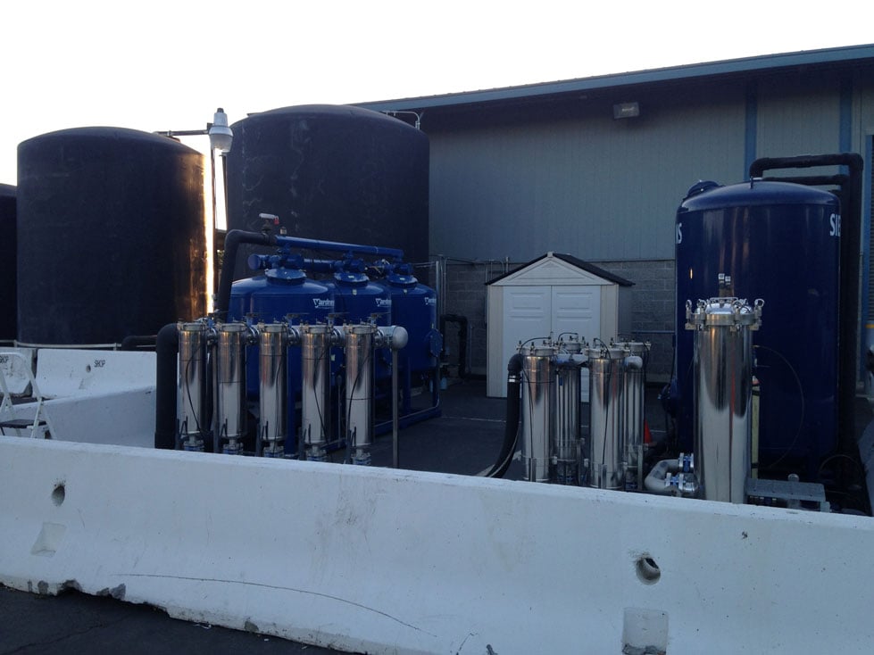
Based on the findings of the supplemental sampling, additional BMPs were designed and implemented.  These include re-coating of building roofs onsite, paving of a rear storage yard, removal of unused vehicles and waste bins, and the installation of an active treatment system consisting of holding tanks, sand filters, bag filter and, later, the addition of specialized media filter.  Since the installation of the additional BMPs and treatment system, measured parameters are now below benchmark values.

Work with DWRC also included updating the site SWPPP, training staff on sample collection and reporting, and negotiation of the final settlement agreement.

Humboldt Burn Dump Remediation

The Humboldt Road Burn Dump (HRBD) is a collection of adjacent public and private properties totaling approximately 157 acres near the intersections of Bruce Road, Humboldt Road, and Highway 32 in Chico, California.  The City of Chico owned and operated the main landfill/burn dump from the early 1900s to approximately 1965 when the Butte County Neal Road Landfill was opened.  The HRBD has been the subject of extensive investigations and controversy. Cleanup of the site had been stalled since 1992 by regulatory agencies and environmental groups. VESTRA was retained by one of the private properties owners to “get the job done.”

VESTRA was able to permit, design, and complete the first phase of remediation in less than 6 months. This included the preparation and submittal of a Draft and Final Environmental Impact Report. VESTRA coordinated permitting with state and federal agencies including CDFG, ACOE, DTSC, State Water Quality Control Board, and the USFWS.  Permits required to implement the remediation plan included Waste Discharge Requirements, 404 Water Quality, Section 7, Clean Water Act 401, DFG 1603 permit, and air permit with the Butte County Air Quality Management District (AQMD).  Required design plans included a Remedial Action Plan and a Remedial Design Implementation Plan.  

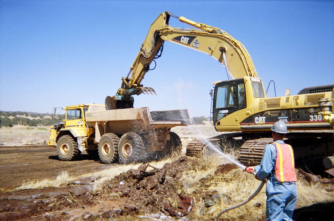
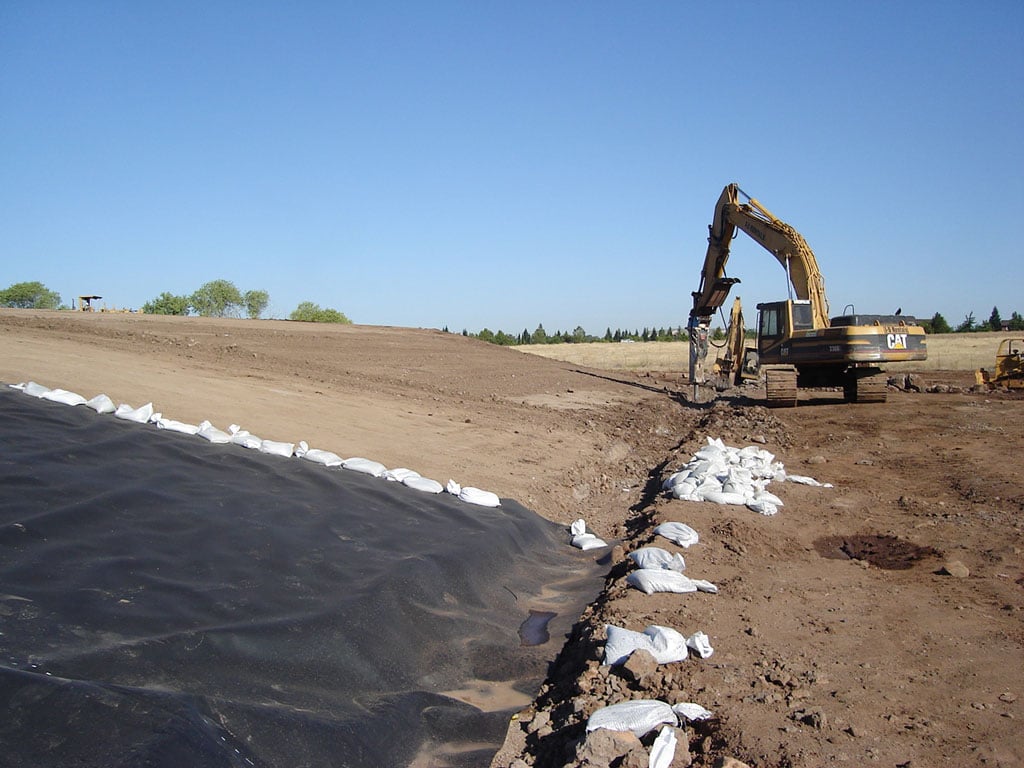
The final project included consolidating approximately 180,000 cubic yards of burn ash and waste debris covering approximately 40 acres into a seven acre consolidation unit.  The consolidation unit was capped with a 2 foot compacted foundation layer, 60-mil HDPE liner, drainage layer and an 18-inch vegetative layer.  It took two years to complete the project as one of the permit conditions required all construction activities be conducted during the summer when a nearby school was out of session.  Following the successful completion of the permitting and construction activities, the lead agency issued a certificate of completion, the client successfully recovered the costs for the project, and the area is being developed.  After a 12-year regulatory and political stalemate, the entire project was completed in three years.        

Moores’ Flour Mill

Site civil design for Moores’ Flour Mill project in the City of Redding.  Design elements included a grading plan for the 11-acre site, extension of Shasta View Drive, water and sewer extensions, onsite storm drainage, and fire protection.  HEC-RAS analysis for the project was completed to determine the storm water detention for the facility.  A SWPPP was prepared for the site which detailed inspection and reporting requirements.

Anderson-Cottonwood Irrigation District (ACID)

Irrigation ditch piping for Anderson-Cottonwood Irrigation District (ACID) laterals.  The project includes the conveyance ditch piping design.  The conveyance ditches are plagued with problems such as leakage/seepage, overgrown vegetation, and burrowing animals that compromise the integrity of the banks.  The project replaced the open ditches with pipelines, as well as complete on-farm irrigation pipelines with alfalfa valves.  Four to five projects per year have been completed since 2010.